Union Pacific and BNSF lines through Cajon Pass

banner
Cajon Pass

Cajon Pass is broadly understood as the area between Devore and Hesperia, CA, where the Union Pacific and BNSF railroad lines climb from the Los Angeles Basin to Victor Valley and the Mojave plateau between the San Bernardino and San Gabriel Mountains in Southern California. Devore, at the southern end, is about 60 miles from Los Angeles, and it is about 24 miles from Devore to Hesperia. Cajon Pass itself is located at the head of Horsethief Canyon on California State Route 138.

This area is a real railfan's mecca, and the year round California weather means you'll almost always find chasers about. Some go to great lengths to get that perfect shot, and there are consequently tons of sites on the web showing photographs of Cajon, many the result of years of visiting by enthusiasts.

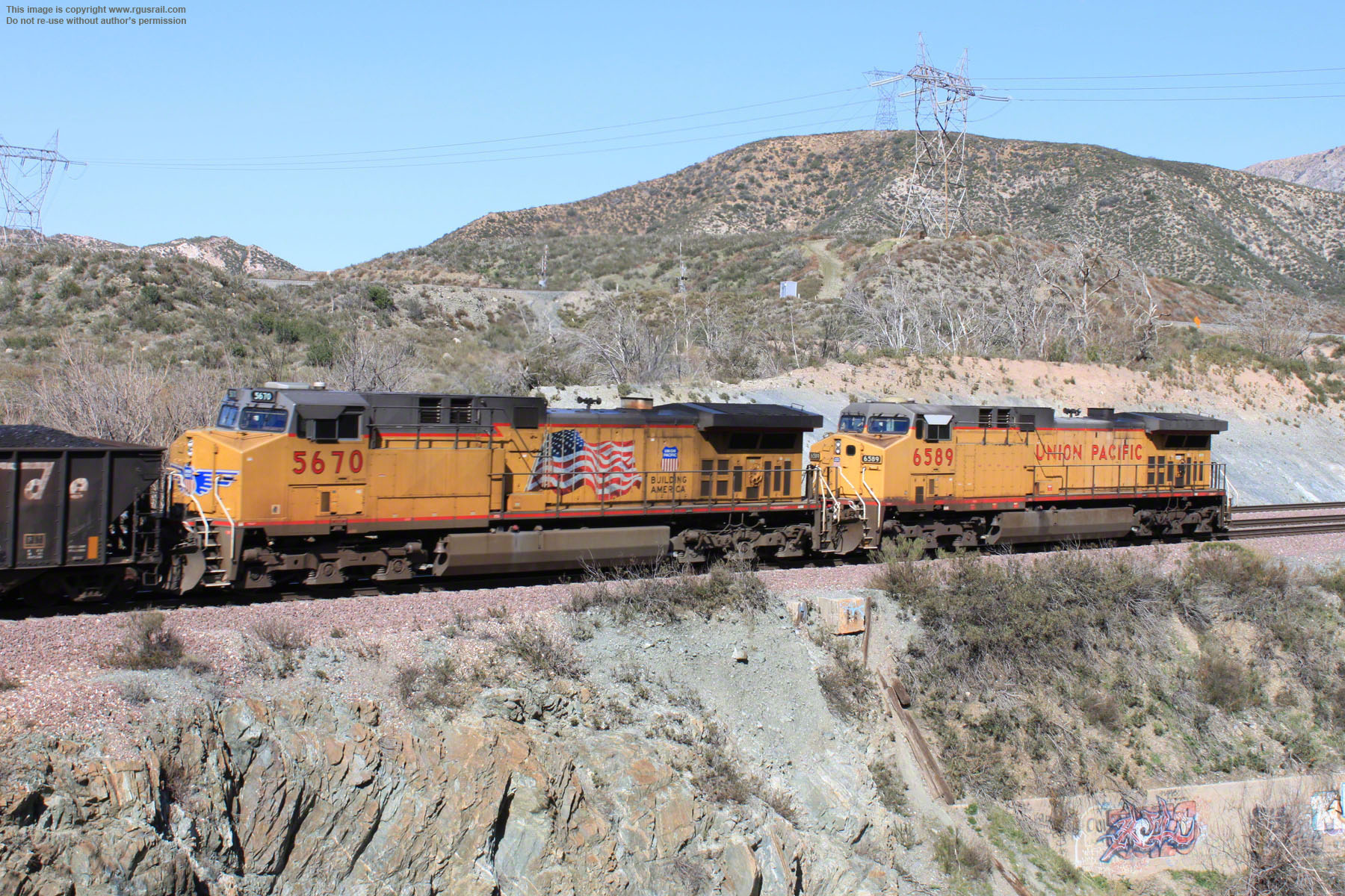
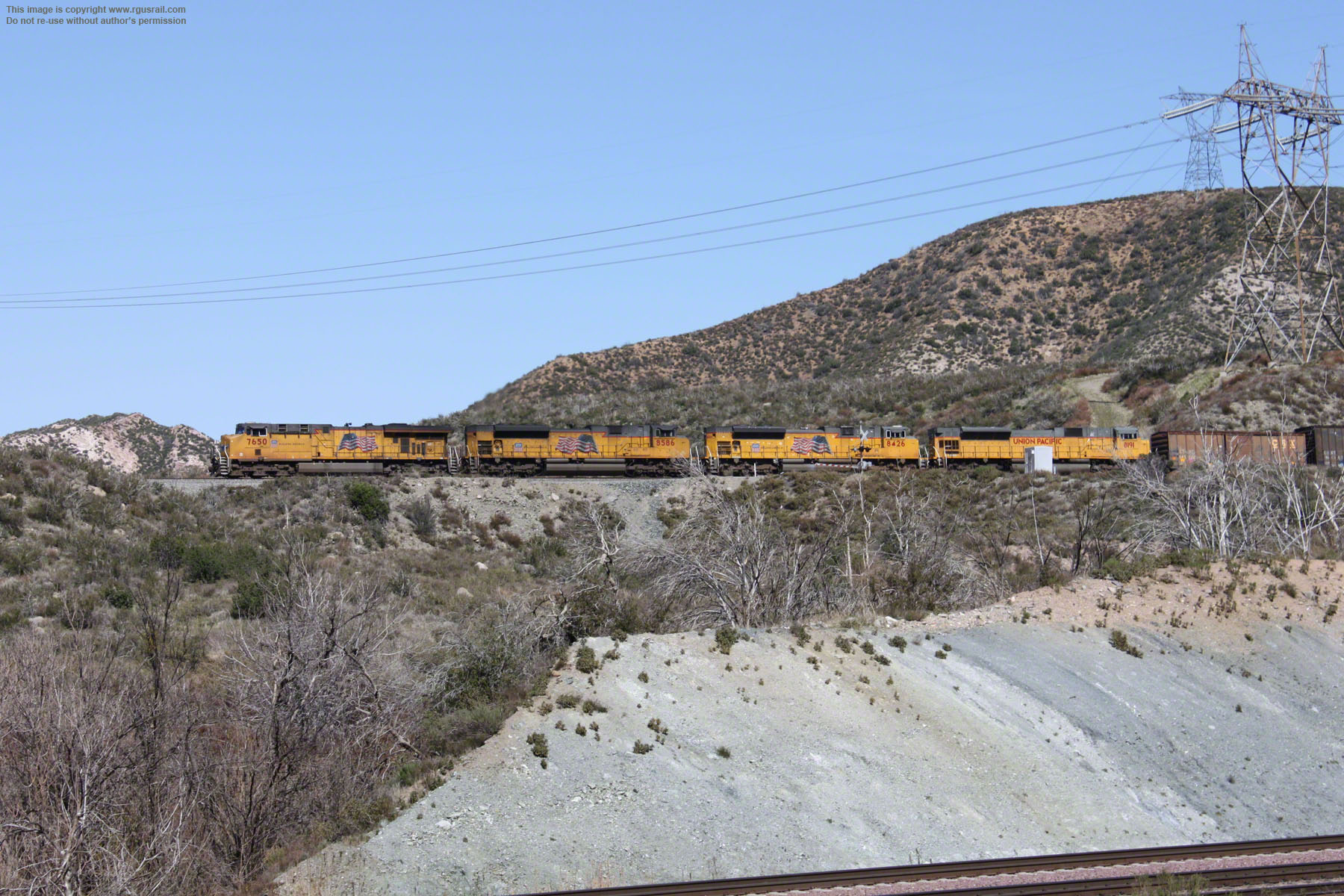
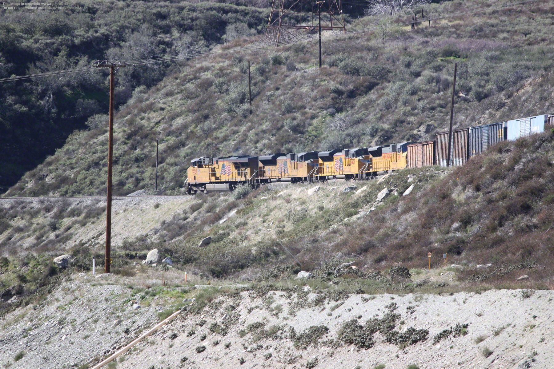
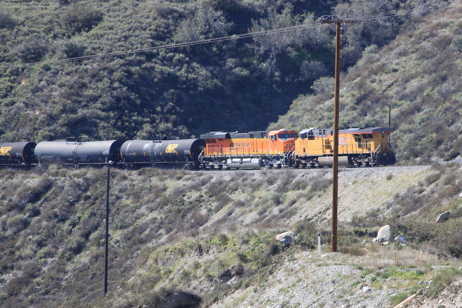
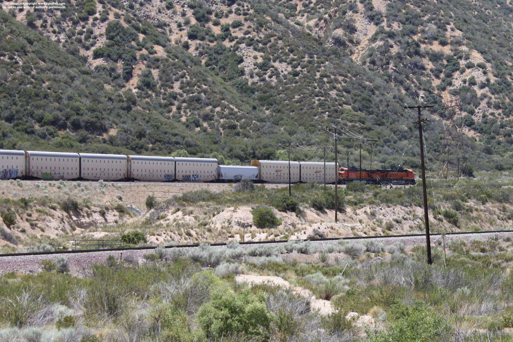
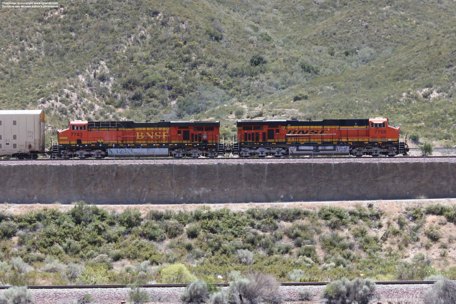
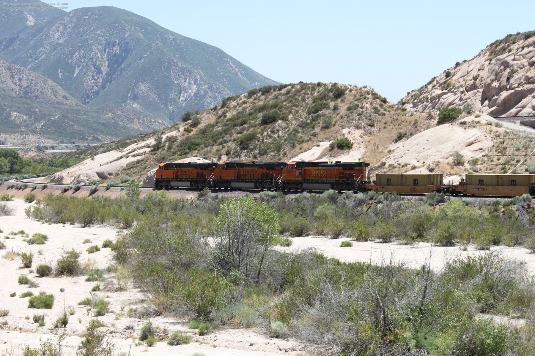
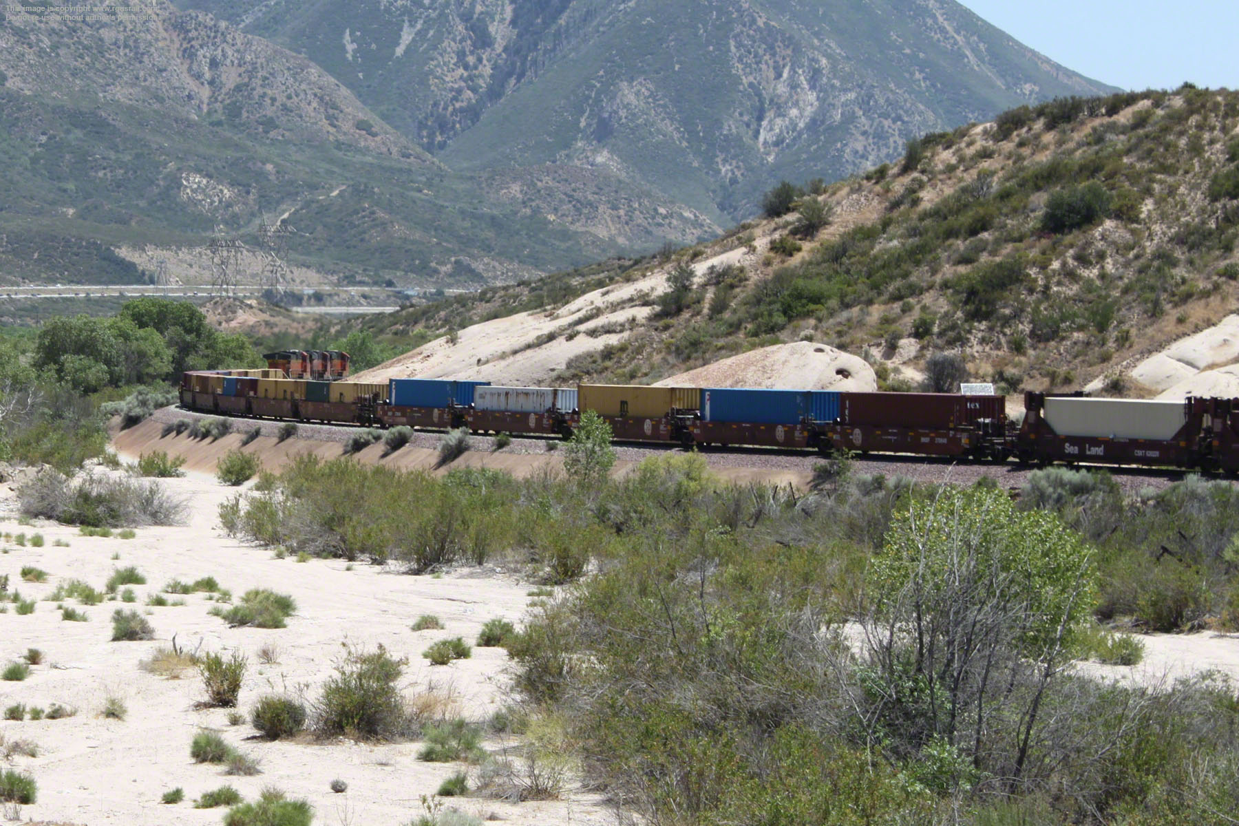
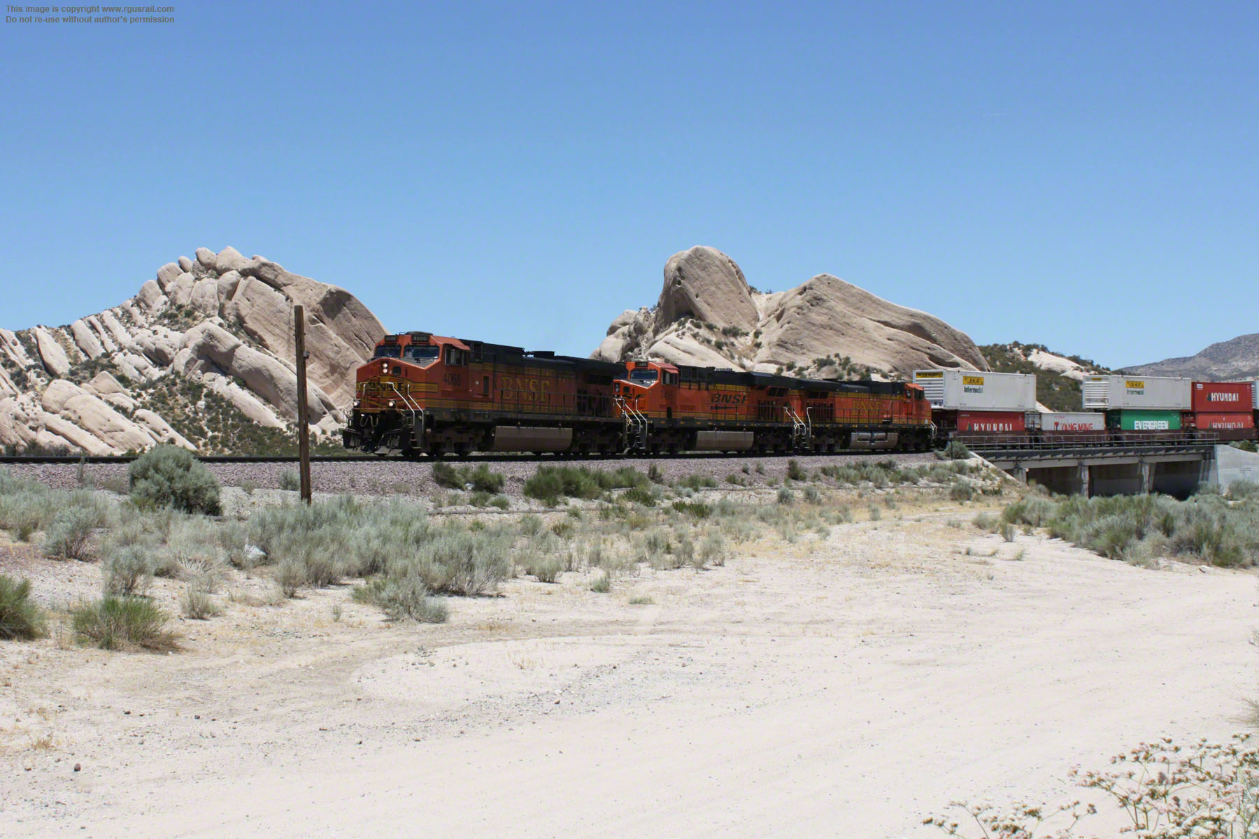
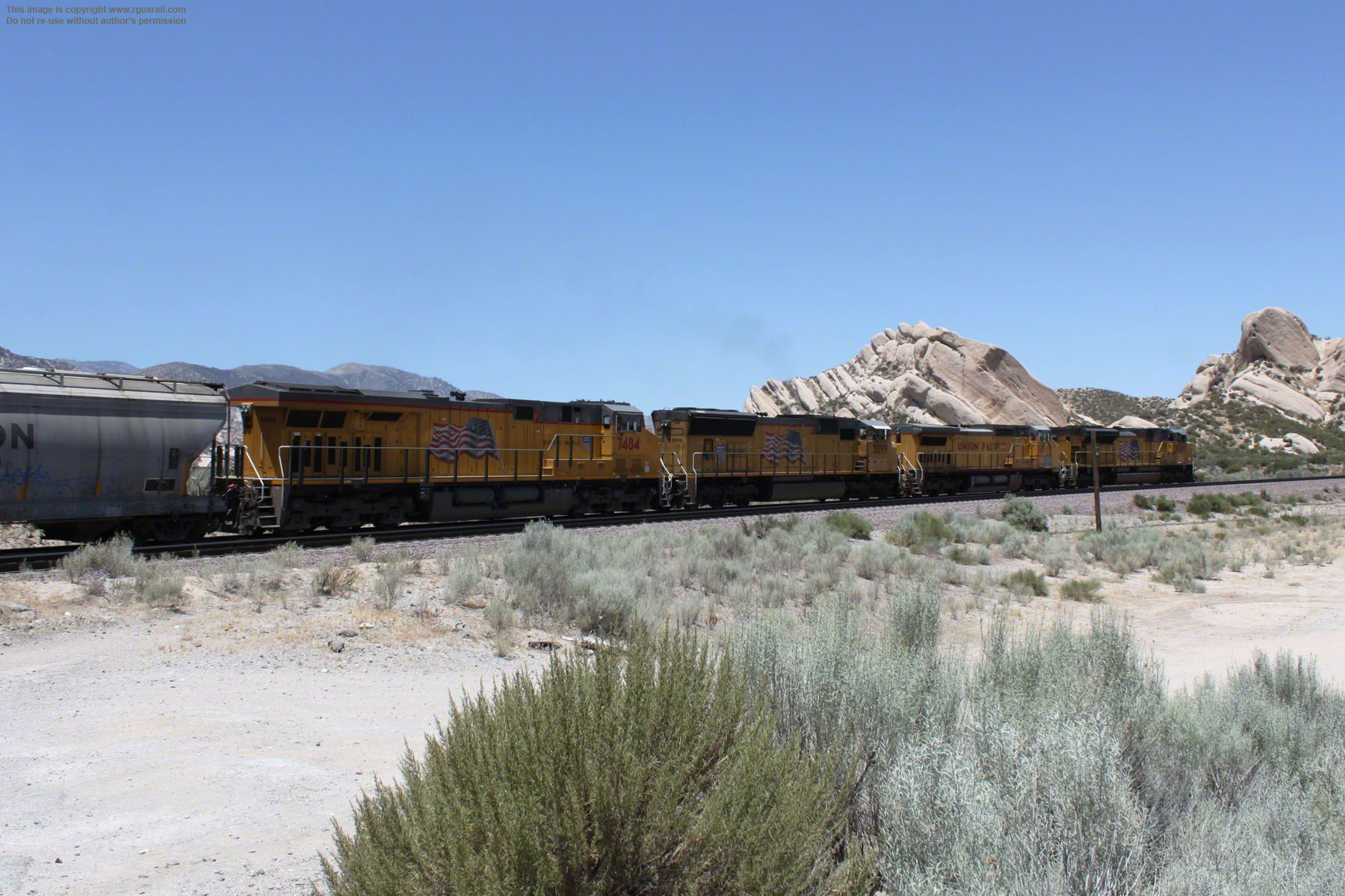
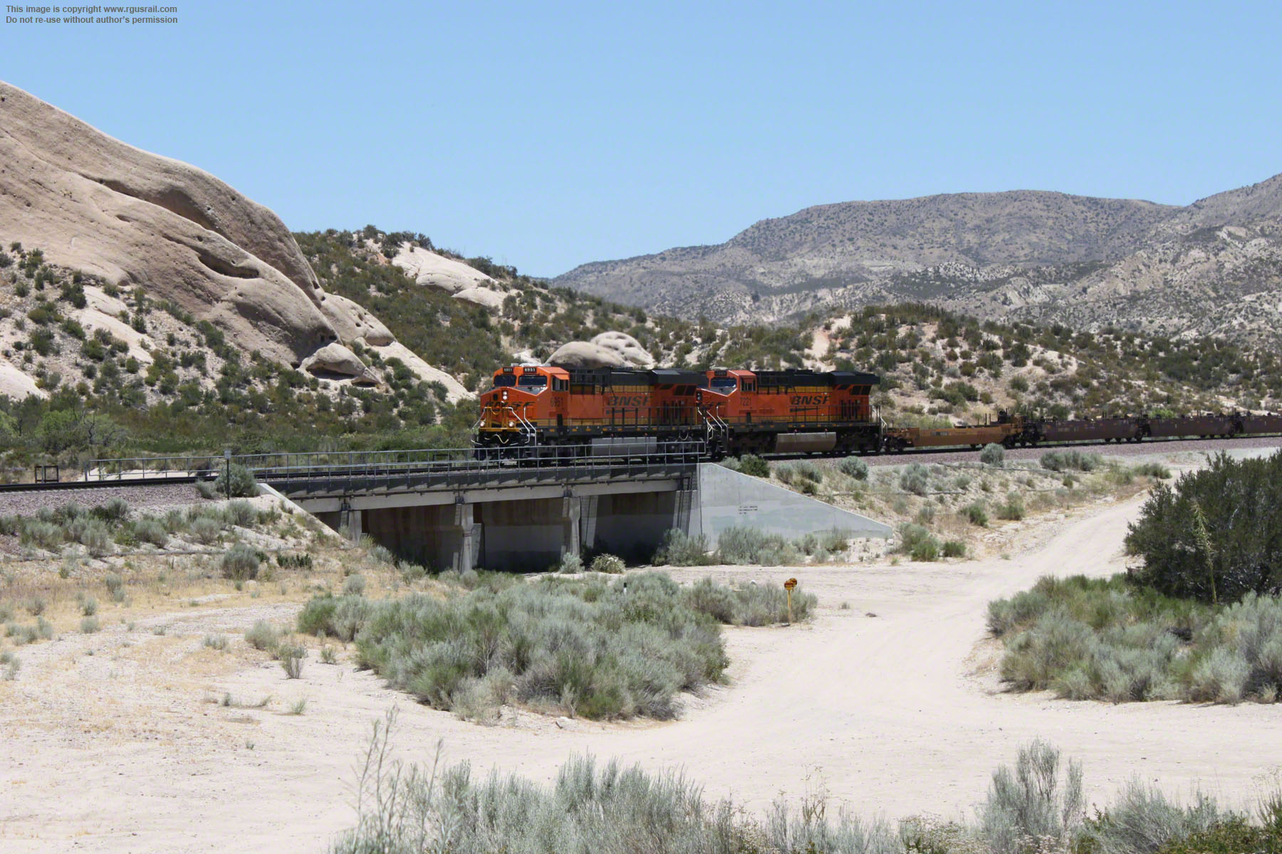
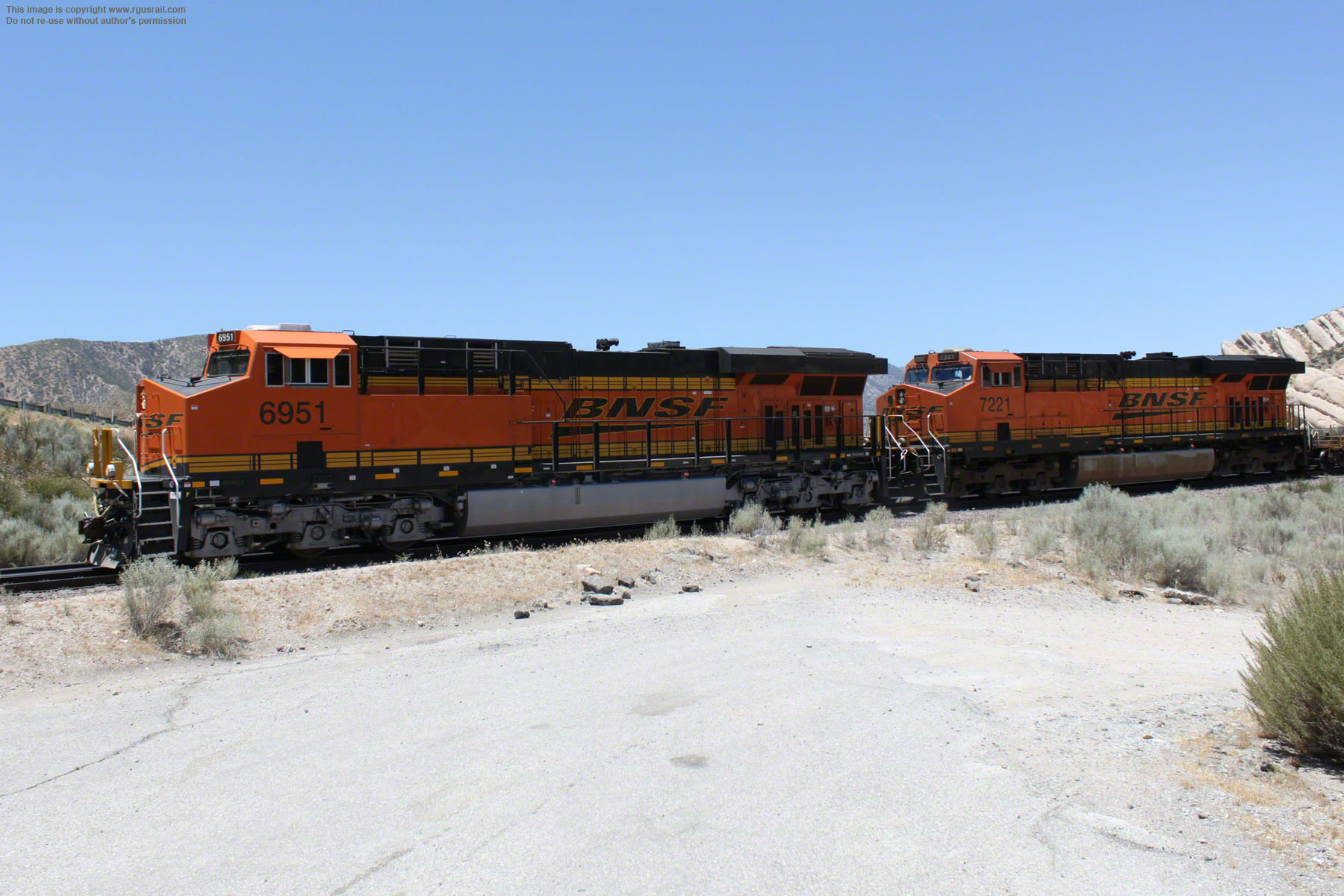
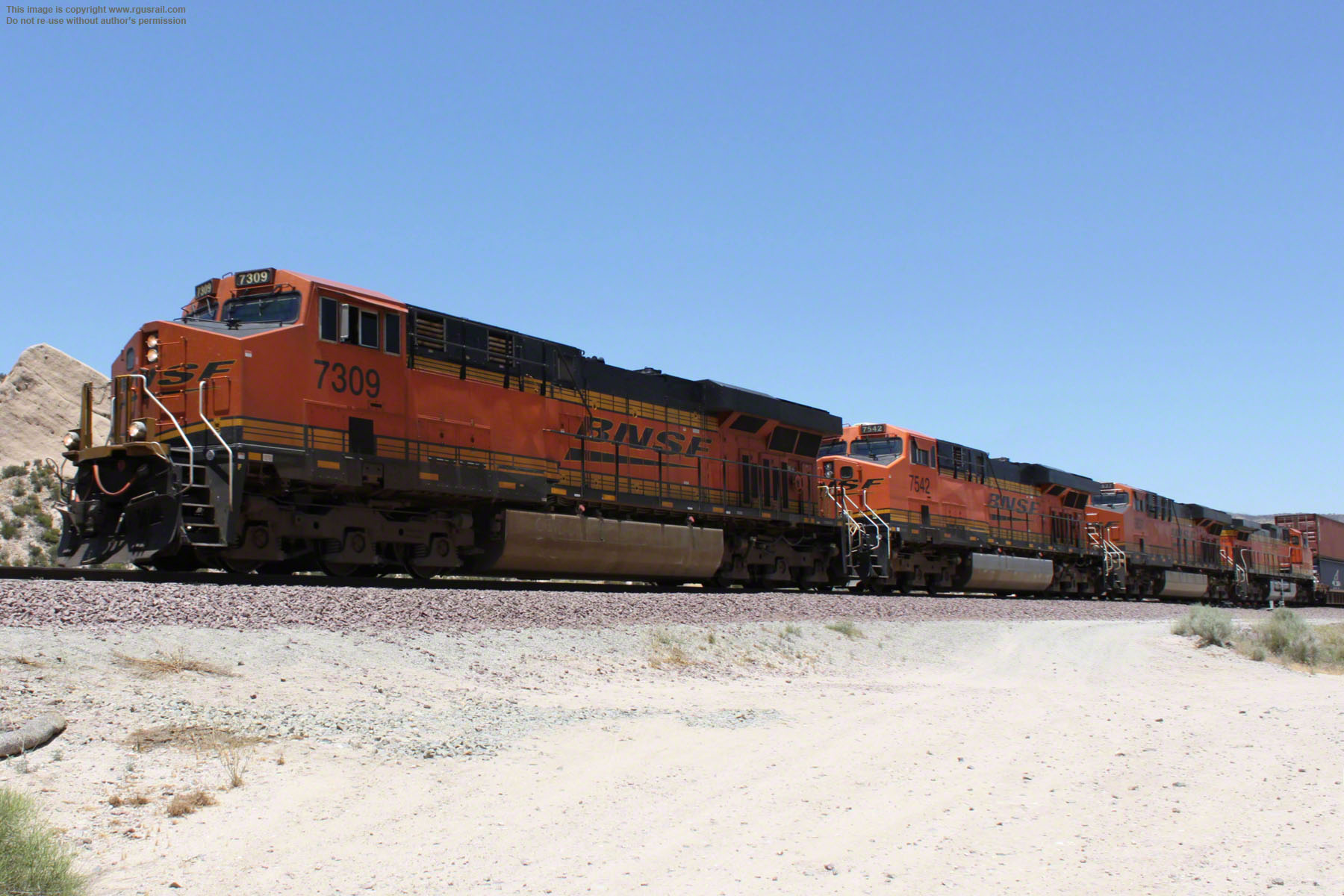
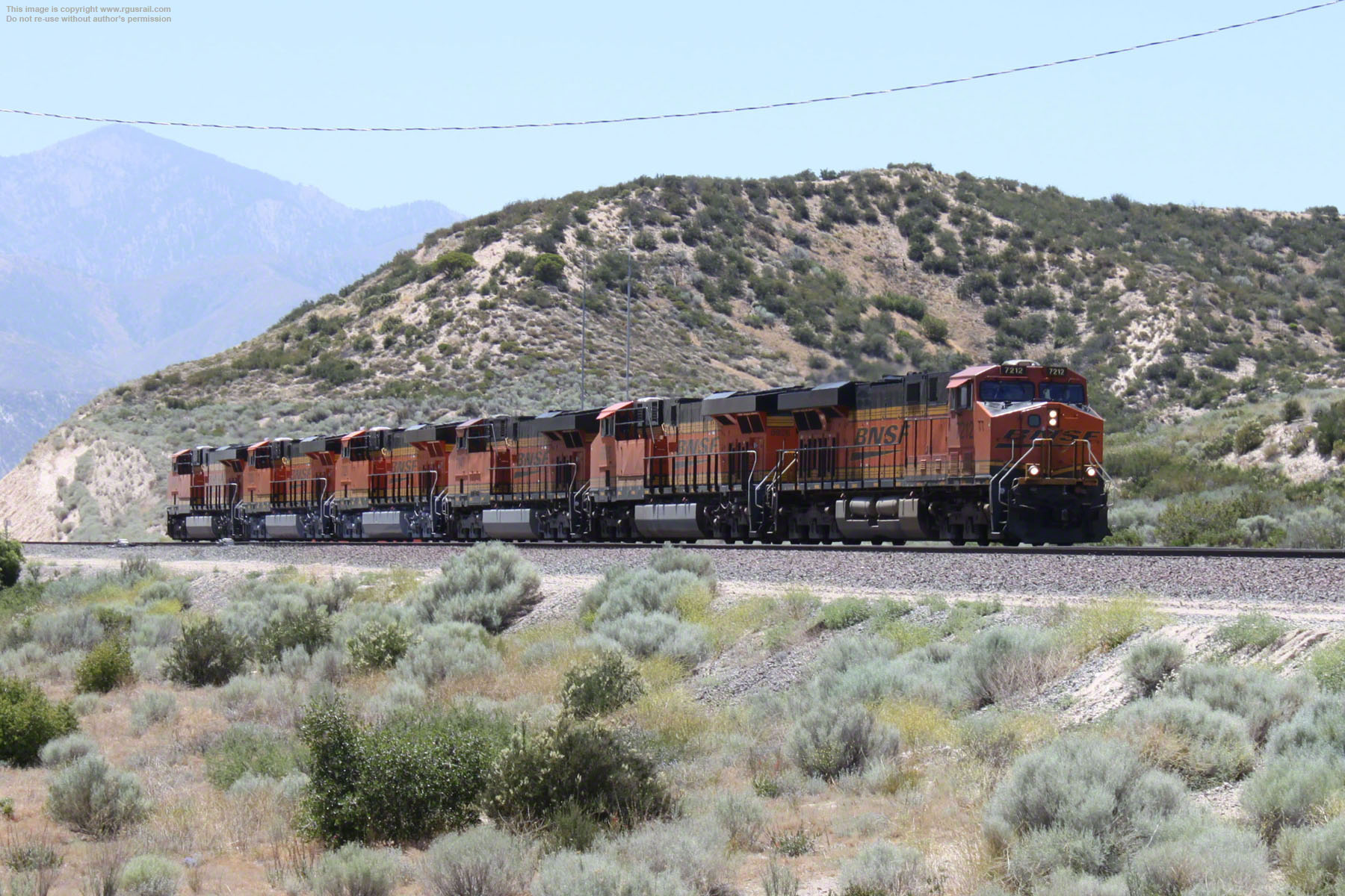
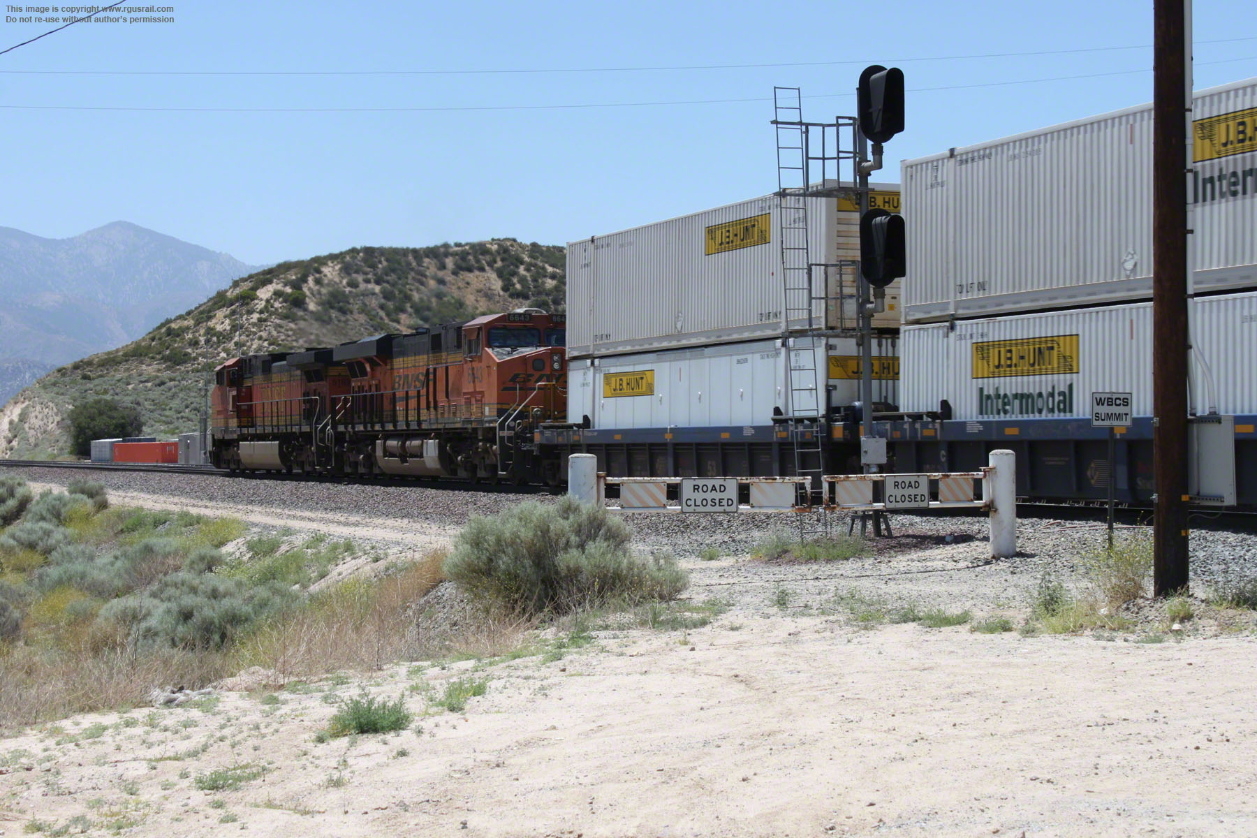
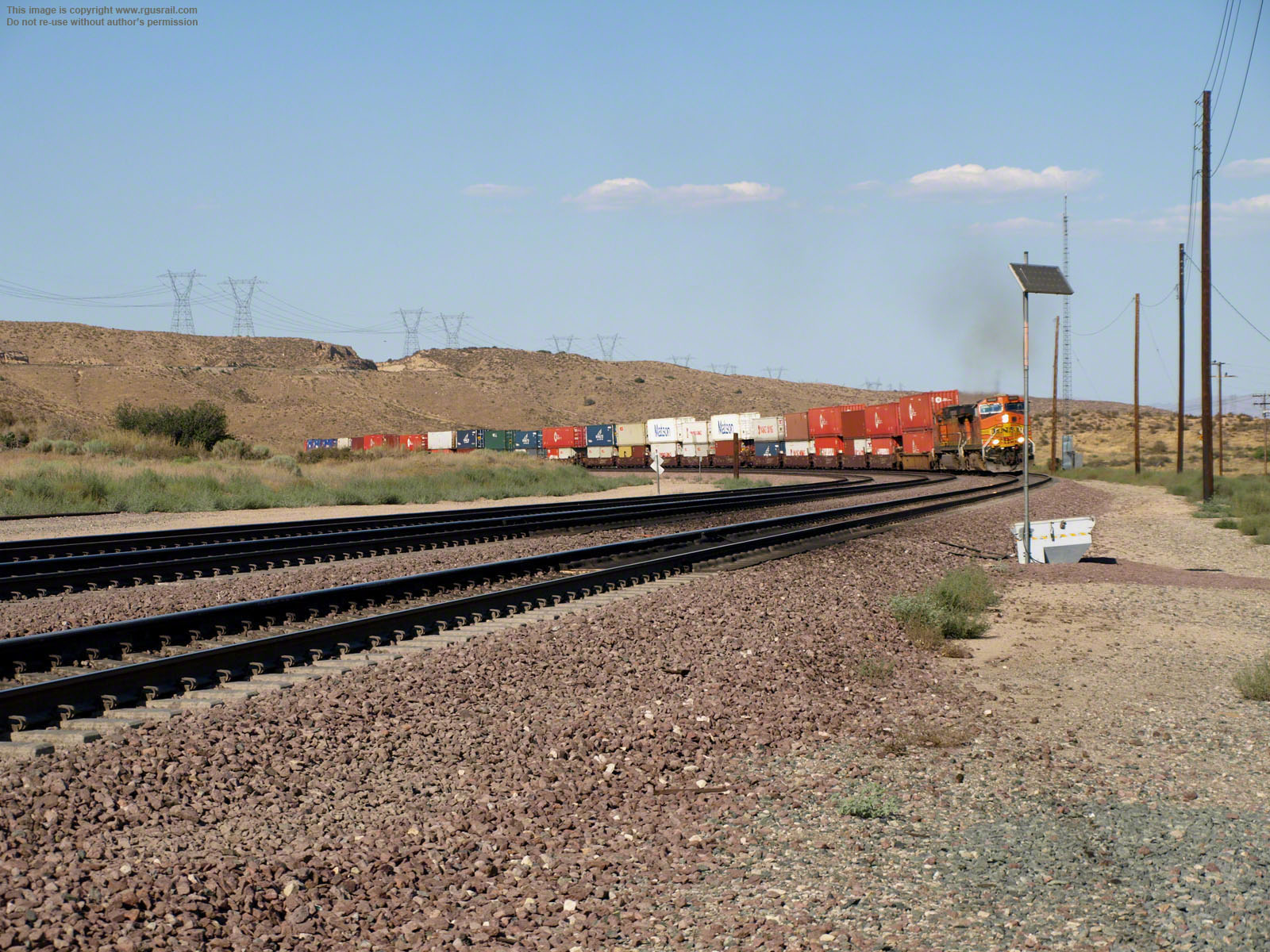
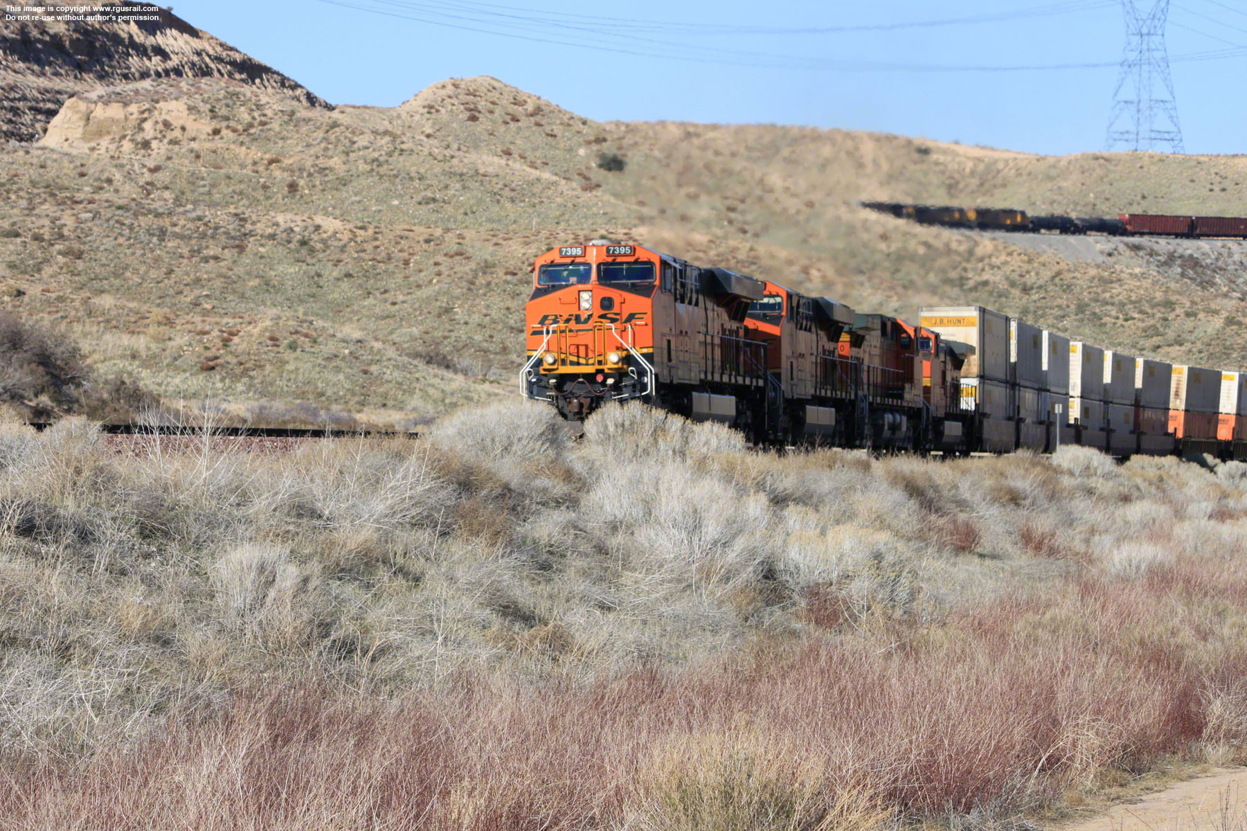
BNSF and the Union Pacific share trackage rights, so you'll see trains hauled by either carrier on the different lines. Once in a while, as I have, you may even see a mixed engine consist. I've visited the location a few times, and the photos on this page are from various visits.

Digimarc

Digimarc and the Digimarc logo are registered trademarks of Digimarc Corporation. The "Digimarc-Enabled" Web Button is a trademark of Digimarc Corporation, used with permission.

Cajon Creek Wash
Cajon Creek, Cajon PassCajon Creek, Cajon PassCajon Creek, Cajon Pass

Above, an eastbound UP mixed freight climbs Cajon Creek Wash on what is known as the North Track, passing a BNSF intermodal descending the South Track beneath Ruddell Hill.

Lone Pine Canyon

Below, UP EMD SD70M #4511, UP GE
C44-9W #8646, UP GE ES44AC #5404 and UP GE ES44AC #5432 pull a mixed freight west through Lone Pine Canyon.

Lone Pine Canyon, Cajon PassLone Pine Canyon, Cajon PassLone Pine Canyon, Cajon Pass

Below, leaving Lone Pine Canyon, the locomotives approach Blue Cut on the North Track. These photographs were taken from Cajon Boulevard just south of Blue Cut.

Lone Pine Canyon, Cajon PassLone Pine Canyon, Cajon PassLone Pine Canyon, Cajon Pass
Blue Cut
Blue Cut, Cajon PassBlue Cut, Cajon PassBlue Cut, Cajon Pass

Above, UP AC4400CW #7216 and UP EMD SD70M #5020 lead a coal train down Blue Cut on the South Track.

Blue Cut, Cajon PassBlue Cut, Cajon PassBlue Cut, Cajon Pass

Above, UP GE AC4400CW #5670 and UP C44AC #6589 are on the rear end of the coal train.

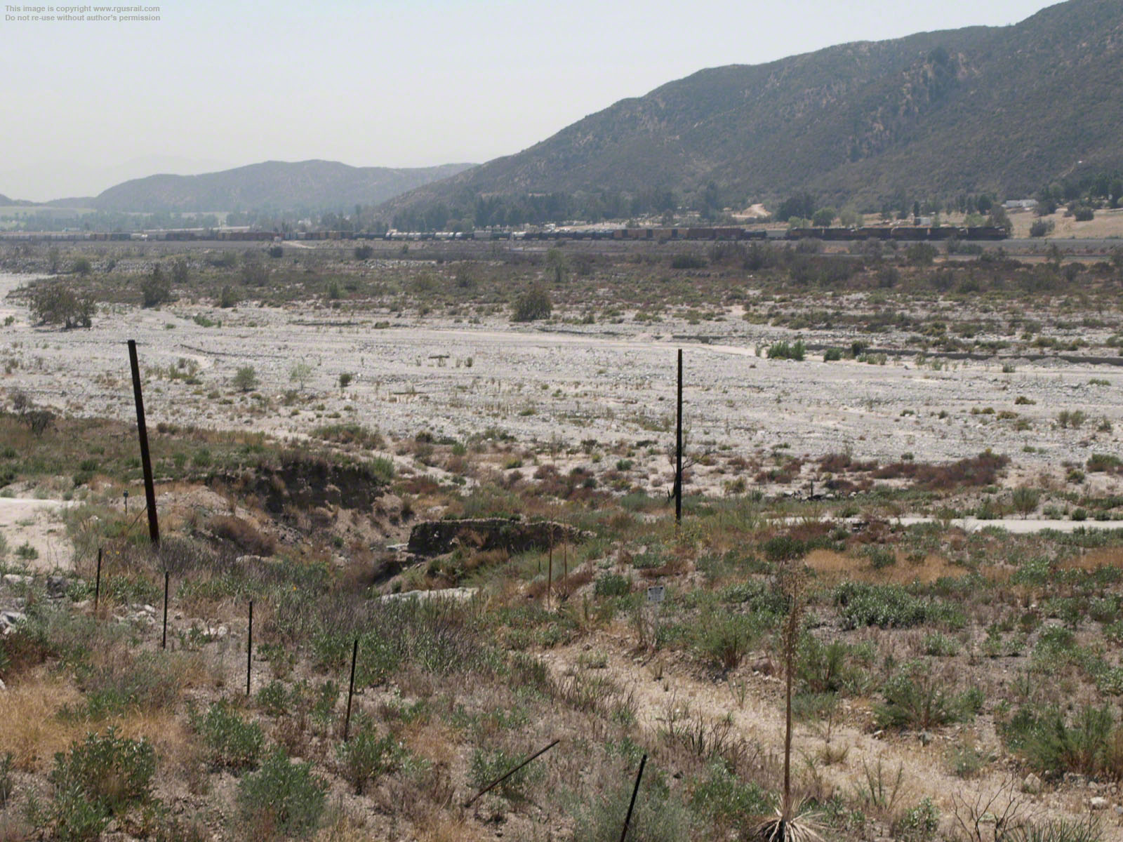
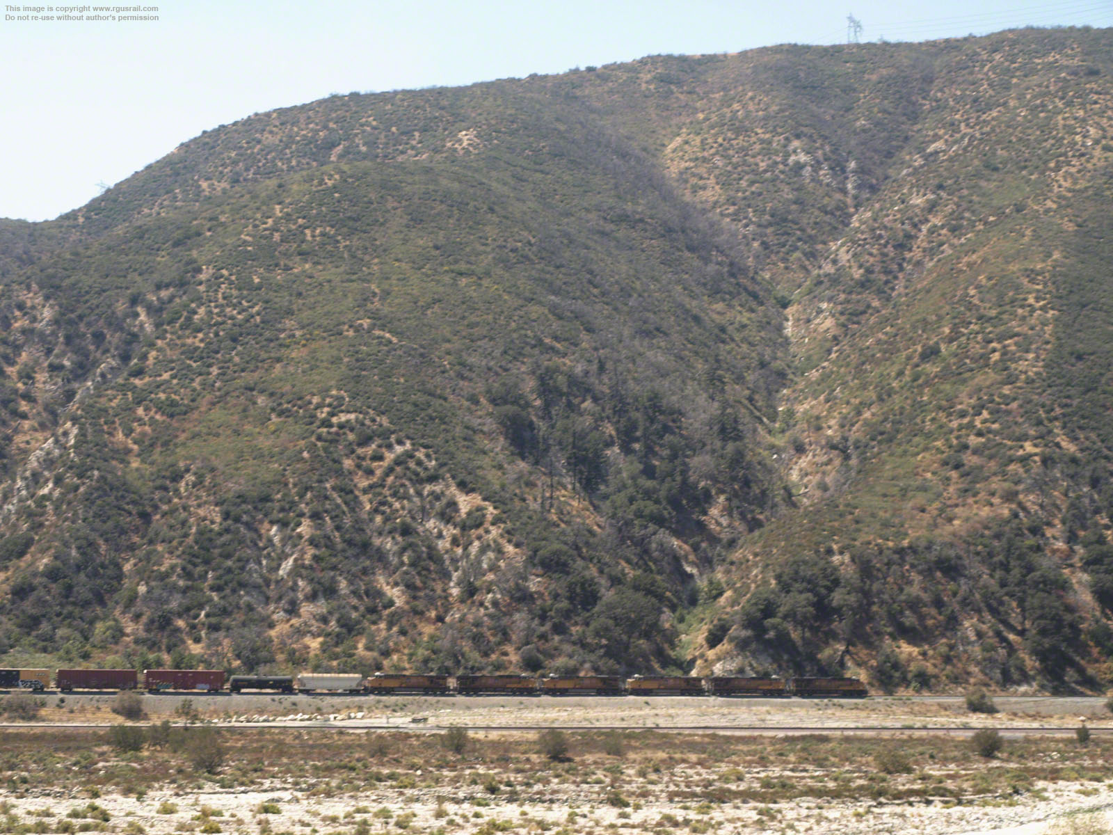
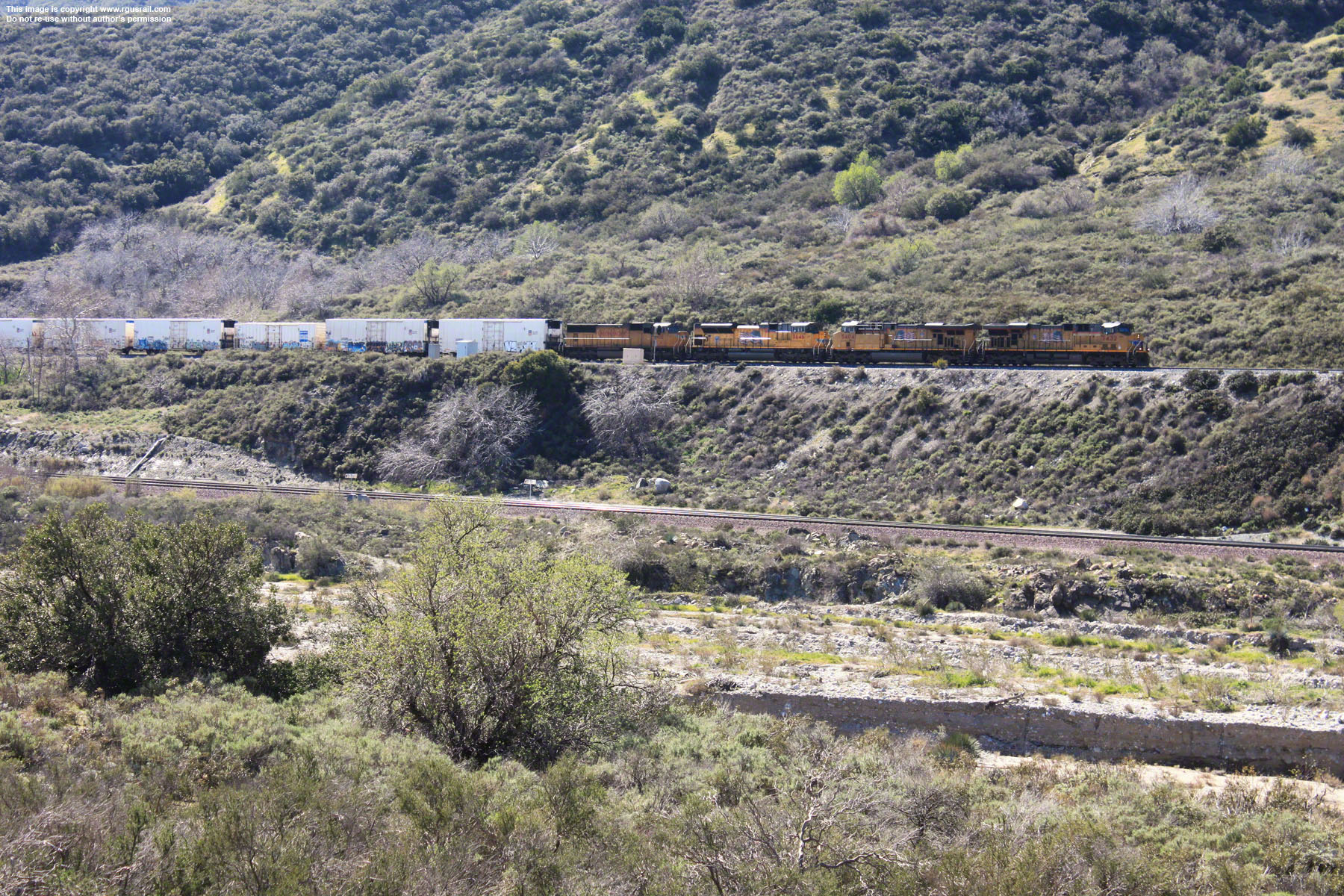
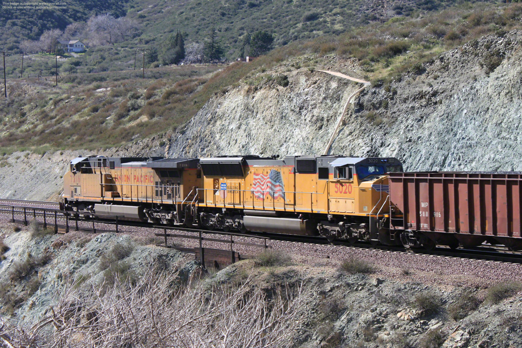
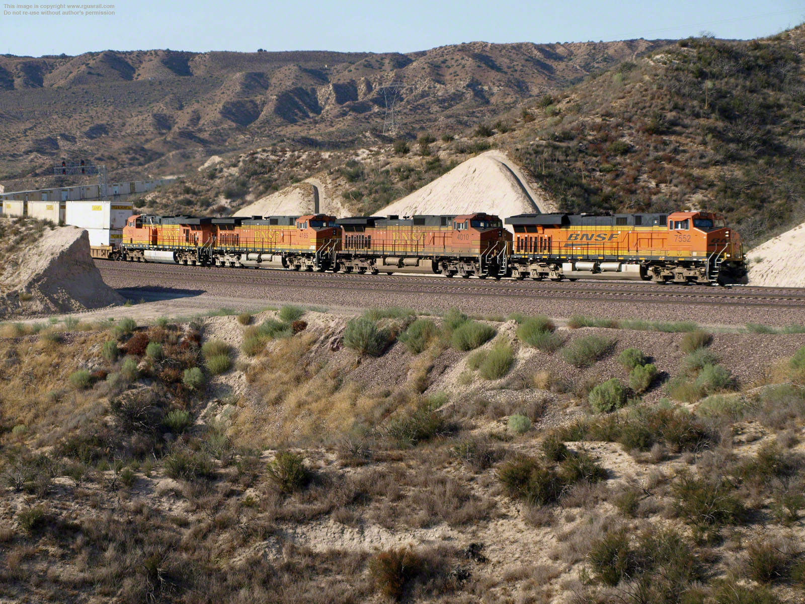
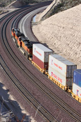
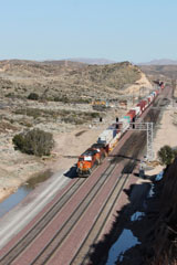
The characteristic blue-gray rock, Pelona schist, which gives this area its name, is evident in all of the views above.

BNSF GE C44-9W #5245 heads a double stack freight down the South Track at Blue Cut with BNSF GE
C44-9W #5161, BNSF GE ES44DC #7402 and BNSF GE C44-9W #7550.

Blue Cut, Cajon PassBlue Cut, Cajon PassBlue Cut, Cajon Pass

UP GE C45ACCTE #7650, UP EMD SD70ACe #8586, UP EMD SD70ACe #8426 and UP EMD SD9043MAC #8191 take a mixed freight over the North Track at Blue Cut.

Blue Cut, Cajon Pass Blue Cut, Cajon PassBlue Cut, Cajon Pass

The train turns into Lone Pine
Canyon as it exits the cut, the
exhaust generated by the
locomotives' dynamic braking
blurring the air.

Blue Cut, Cajon Pass Blue Cut, Cajon PassBlue Cut, Cajon Pass

At the rear of this extremely long train (it took five minutes for it to roll by completely) is an unusual pairing of BNSF EMD SD40-2 #6937 and UP GE ES44AC #5531.

Blue Cut, Cajon Pass Blue Cut, Cajon PassBlue Cut, Cajon Pass

In the photos below, UP GE C45ACCTE #7614, UP EMD SD70ACe #8543 and UP EMD SD70ACe #8584 lead a train of auto rack cars over the North Track.

Blue Cut, Cajon PassBlue Cut, Cajon PassBlue Cut, Cajon Pass
Swarthout Canyon Road
Swarthout Canyon, Cajon PassSwarthout Canyon, Cajon PassSwarthout Canyon, Cajon Pass

BNSF GE C44-9W #4083, BNSF GE C44-8W #731 and BNSF GE C44-9W #5370 haul a string of piggyback trailer truck cars westbound on the South Track.

Cosy Dell
Cosy Dell, Cajon PassCosy Dell, Cajon PassCosy Dell, Cajon Pass

About a mile north of Swarthout Canyon, BNSF #4083, #731 and #5370 climb out of Cleghorn Canyon into an area known as Cosy Dell.

Cosy Dell, Cajon PassCosy Dell, Cajon PassCosy Dell, Cajon Pass

From here, the trains continue their climb towards Cajon Junction. Traffic on I-15 is clearly visible in the middle of the view above.

Cosy Dell, Cajon PassCosy Dell, Cajon Pass

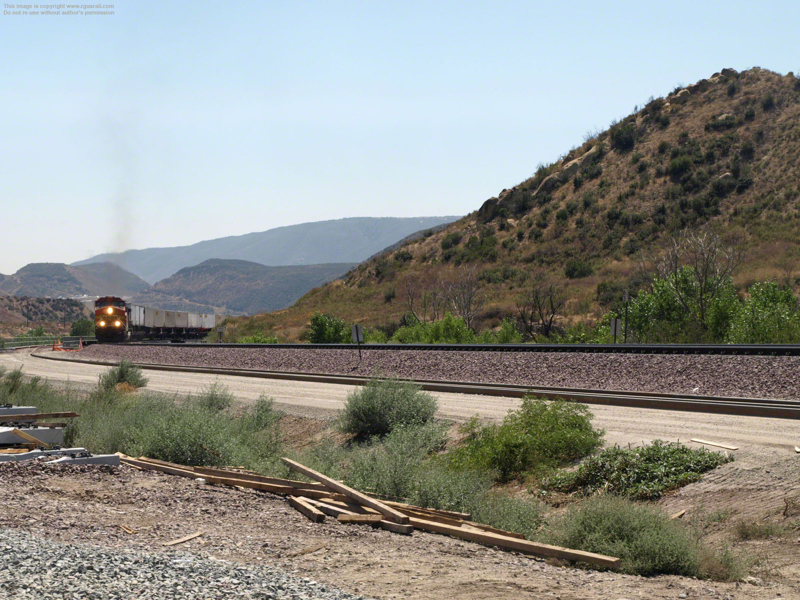
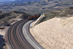
Just south of Cajon Junction, the train is about to enter Sullivan's Curve, the west spur of the BNSF line.

The head end of the train can be seen just left of centre in the top view as it enters the curve. In the bottom view, it is just visible emerging from the curve above the four tractors on the middle right.

These two photographs were taken from Cajon Boulevard just south of Cajon Junction.

Cajon Junction

South of US Highway 138, BNSF GE ES44DC #7759, BNSF EMD GP60M #136, BNSF GE ES44DC #7775 and BNSF GE ES44DC #7778 on BNSF main line No.2.

Cajon Junction, Cajon PassCajon Junction, Cajon PassCajon Junction, Cajon Pass

Below, BNSF GE ES44DC #7743 and BNSF GE ES44DC #7768 on the rear of the train. These photos were taken from North Cajon Blvd with the Cason Shell gas station behind me.

Cajon Junction, Cajon PassCajon Junction, Cajon PassCajon Junction, Cajon Pass

UP GE AC45CCT #5408, UP EMD SD70M #4627, UP EMD SD70ACe #8680 and UP EMD SD70ACe #8609 head down on the Union Pacific line with another mixed freight.

Cajon Junction, Cajon PassCajon Junction, Cajon PassCajon Junction, Cajon Pass

A little later, BNSF ES44DC #7210, EBNSF MD SD40-2 #6703 and BNSF GE C44-9W #4642 come into view across Highway 138 rolling down the BNSF Main line No.3.

Cajon Junction, Cajon PassCajon Junction, Cajon PassCajon Junction, Cajon Pass

Here, the BNSF South Track follows the original grade built by the AT&SF in 1885 north of Sullivans’s Curve. It runs at a lower altitude than the other grades that follow the curve.

Cajon Junction, Cajon PassCajon Junction, Cajon PassCajon Junction, Cajon Pass
Mormon Rocks
Mormon Rocks, Cajon PassMormon Rocks, Cajon PassMormon Rocks, Cajon Pass

Above, BNSF GE C44-9W #4068, BNSF GE ES44DC #7455 and BNSF GE C44-9W #5166 haul a double stack intermodal across a bridge over a dry wash.

Mormon Rocks, Cajon PassMormon Rocks, Cajon PassMormon Rocks, Cajon Pass

Above, the three units pass under the US Highway 138 bridge. The train is on BNSF Main line No.2. The pictures were taken from an access road just to the west of Santa Fe Rd.

Mormon Rocks, Cajon PassMormon Rocks, Cajon PassMormon Rocks, Cajon Pass

Next, UP GE SD70ACe #8448, UP GE C41-8W #9509, UP EMD SD70M #5099 and UP GE ES44AC #7484 appear with a mixed freight on BNSF Main line No.1.

Mormon Rocks, Cajon PassMormon Rocks, Cajon PassMormon Rocks, Cajon Pass

Above, the four units passing over the dry wash. An intermodal coming down the UP line is visible beyond the spur at the head of #8448 on the far right of the lowest photo.

Mormon Rocks, Cajon PassMormon Rocks, Cajon PassMormon Rocks, Cajon Pass

UP GE ES44AC #7916 is on the rear. The UP intermodal is on the left in the lower two views. Photo locations near Mormon Rocks are relatively easily accessed.

Mormon Rocks, Cajon PassMormon Rocks, Cajon PassMormon Rocks, Cajon Pass

In the top view, the double header
on the intermodal passes under Highway 183. UP GE AC44CW #6398 and UP EMD SD70M #4103 are on the rear.

Mormon Rocks, Cajon PassMormon Rocks, Cajon PassMormon Rocks, Cajon Pass

BNSF GE ES44AC #6951 and BNSF GE ES44DC #7221 with a consist of empty well cars. Mormon Rocks was named after the group of Mormon settlers who stopped here in 1851.

Mormon Rocks, Cajon PassMormon Rocks, Cajon PassMormon Rocks, Cajon Pass

Next, BNSF GE ES44DC #7309, BNSF GE ES44DC #7542, BNSF EMD SD40-2 #6837 and BNSF GE C44-9W #5129 on Main line No.3 hauling a southbound intermodal.

Mormon Rocks, Cajon PassMormon Rocks, Cajon PassMormon Rocks, Cajon Pass

Above, the units cross the bridge over the dry wash and under Highway 183. This location is quite easily accessed by vehicle (4WD recommended) from Santa Fe Rd.

Summit

BNSF GE ES44DC #7552, BNSF GE C44-9W #4010, BNSF GE C44-9W #4185 and BNSF GE ES44-DC #7679 with a double stack approach Summit.

Summit, Cajon PassSummit, Cajon PassSummit, Cajon Pass
Summit, Cajon PassSummit, Cajon Pass

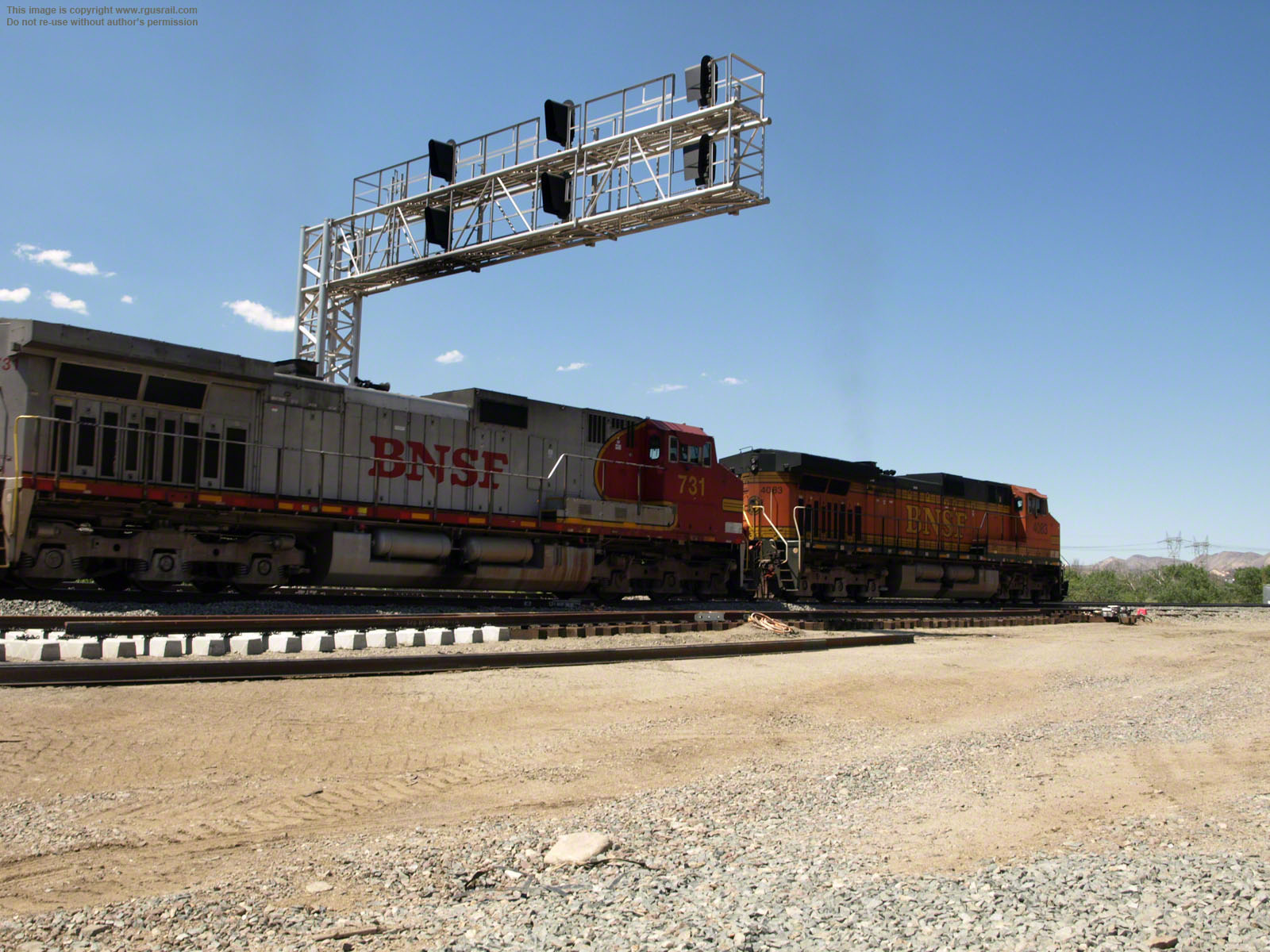
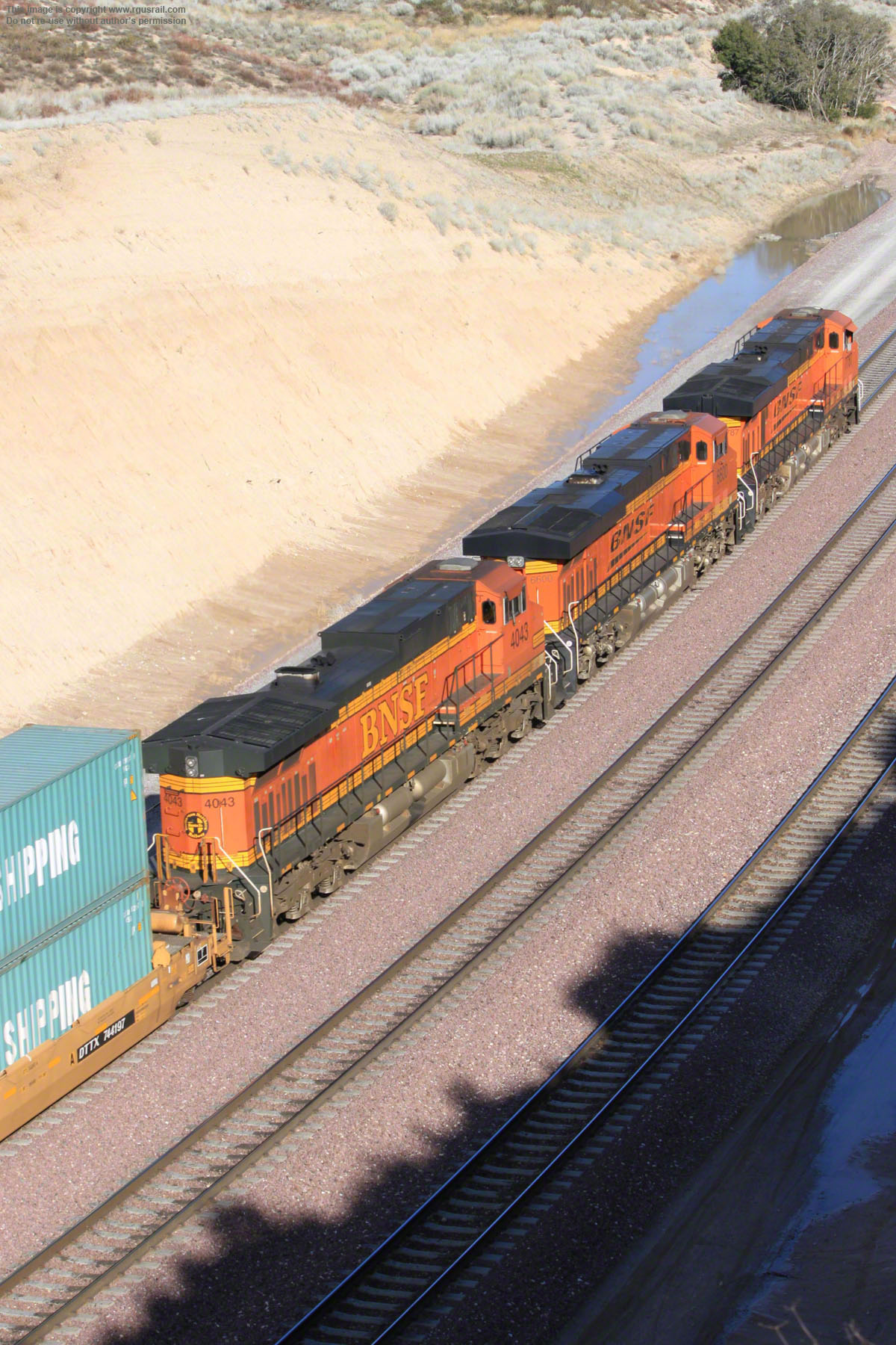
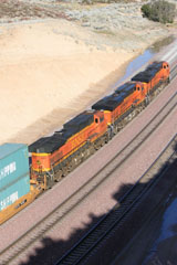
BNSF GE ES44-DC #7787, BNSF GE ES44CE #6600 and BNSF GE C44-9W #4043 about to top the grade to Summit.

BNSF GE C44-9W #4065 and BNSF GE ES44-DC #7229 are just visible at the rear of the train in the upper photo.

Summit, Cajon PassSummit, Cajon Pass

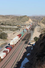
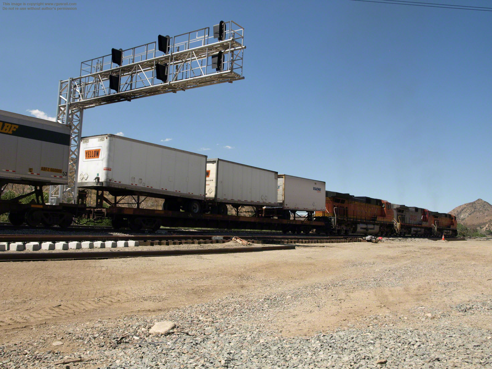
The train pulls through Summit...

Summit, Cajon PassSummit, Cajon Pass

...BNSF #4065 and #7229 at the rear.

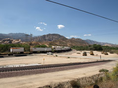
At Summit, a level area has been used to build crossovers, setout tracks and floodlighting to inspect westbound trains before they descend the 3% grade to San Bernardino. These photos were taken just off Forest Route 3N45 overlooking the cut.

Below, BNSF GE ES44DC #7413, BNSF GE ES44-DC #5086, BNSF GE
C44-9W #5067 and BNSF GE C44-9W #5014 cross from track #3 to track #2.

Summit, Cajon PassSummit, Cajon Pass

Below, BNSF #7413, #5086, #5067 and #5014 start on the down grade. Because of different grades on the Pass, the train is reverse running on this section.

Summit, Cajon PassSummit, Cajon Pass
Summit Post Office Road
Summit Post Office Rd, Cajon PassSummit Post Office Rd, Cajon PassSummit Post Office Rd, Cajon Pass

BNSF GE ES44DC #7528 and BNSF GE ES44DC #7435 head north with a consist of empty well cars. The views are from the south side of the crossing on Summit Post Office Rd.

Summit Post Office Rd, Cajon PassSummit Post Office Rd, Cajon PassSummit Post Office Rd, Cajon Pass

Six BNSF units running light: BNSF GE ES44DC #7212, BNSF EMD SD40-2 #6926, BNSF GE ES44DC #7847, BNSF EMD SD40-2 #7021 and BNSF EMD SD40-2 #7020

Summit Post Office Rd, Cajon PassSummit Post Office Rd, Cajon PassSummit Post Office Rd, Cajon Pass

BNSF GE C44-9W #5163 and BNSF GE ES44C4 #6643 roll south with an intermodal. When I visited, the crossing had been blocked, so you can’t drive north on the road.

Summit Valley Road

East of Summit, at Summit Post Office Road, BNSF GE C44-9W #4698 and BNSF GE AC4400CW #5685 haul a westbound freight on the BNSF South Track.

Summit Post Office Road, Cajon PassSummit Post Office Road, Cajon PassSummit Post Office Road, Cajon Pass

The view below is looking west
as the train heads towards Summit. Mt. Baldy, in the Saint Gabriel Mountains, is in the background.

Summit Post Office Road, Cajon PassSummit Post Office Road, Cajon Pass Summit Post Office Road, Cajon Pass
Summit Valley Road, Cajon PassSummit Valley Road, Cajon PassSummit Valley Road, Cajon Pass

Above, on the upper North Track, a
UP mixed freight tracks a BNSF double stack running east beside Summit Valley Road on the South Track.

The BNSF double stack intermodal is hauled by BNSF GE ES44DC #7395, BNSF GE ES44AC #7408, BNSF GE C44-9W #5210 and BNSF GE C44-9W #5178.

Summit Valley Road, Cajon PassSummit Valley Road, Cajon PassSummit Valley Road, Cajon Pass

Cajon Pass was formed by tectonic activity occuring where the San Bernardino and San Gabriel Mountains meet.

1772

The area was part of the Serrano Native American Indian territory. The first Europeans to travel through the pass were deserters from the Spanish army. In 1772, Military Governor Pedro Fages led an expedition through the pass in search of deserters.

1848

In 1848, the US gained possession of California after the
Mexican-American War. By then, Cajon was on a loosely connected route known as the "Old Spanish Trail" carrying pack wagons 1,120 miles between Santa Fe, NM, and Los Angeles, CA.

1848

Also in 1848, a group of discharged Mormon soldiers from the Mexican-American War returned west along the trail to Utah. They took one hundred and thirty-five mules and a single covered wagon, showing that the trail could be used by wheeled traffic.

1850

In 1850, Phineas Banning and W. T. B. Sanford built a wagon road through the west Cajon valley five or six miles to the east of the Old Spanish Trail. It was not as rough, but lengthened the trip by several miles and was described as very steep at the summit.

1851

In 1851, Amasa Lymand and Charles Rich led a band of five hundred Mormon settlers with one hundred and fifty wagons from Salt Lake City, UT, across the Mojave Desert and down through the pass to found the City of San Bernadino.

1855

In 1855, Sanford improved the west Cajon route with a new summit crossing about a mile and a half west of his original road. At 30%, the grades were still steep and the last one hundred and fifty yards were described as "precipitous"!

1861

A toll road was opened through the pass in 1861 under the management of John Brown although the tolls were quite expensive: 25c for a single horse and rider, 50c for a horse and buggy and $1.00 for a wagon and span of horses.

1882

The lease on the turnpike expired on 17th October 1882, at which time the route became a public thoroughfare.

1885

California Southern Railroad, a subsidiary of the Atchison, Topeka & Santa Fe, built the first line through Cajon Pass to connect Barstow and San Diego, CA. It was completed in 1885 with a ruling grade of 3% and is known today as BNSF Main line No.3 or the South Track.

1905

In 1905, the Los Angeles & Salt Lake Railroad began operating over the pass on AT&SF rails via a trackage rights agreement.

1912

In 1912, work started on a second track north of the original AT&SF alignment. The ruling grade of the new track, which was known as the North Track was 2.2%. It is now known as BNSF Main line No.2.

1913

Although two miles longer, the new track was used for eastbound, uphill trains, while downhill trains headed west on the original route. This meant trains had to run "left-handed", with the crews effectively on the "wrong" side of the cab

1915

The road through Cajon Pass was maintained, improved and eventually macadamised by the County of San Bernadino. It was formally adopted as a state highway by the State Highway Commission in 1915.

1921

In 1921, the Union Pacific gained a controlling interest in the Los Angeles & Salt Lake. The LA&SL trackage rights were transferred to the UP, which then gained access through Cajon Pass, and the agreement is still in effect.

1926

In 1926, the road through Cajon Pass became part of the new, two thousand, four hundred and forty-eight mile US Highway 66, from Chicago, IL, to Los Angeles, CA.

1953

In 1953, a new northbound highway was built from Devore parallel to the original road, which became the southbound double lane part of the new Interstate Highway 15 the following year.

1967

In 1967 the Southern Pacific Railroad built a new, single-track line from West Colton to Palmdale, CA, fairly close to the existing AT&SF alignment between Devore and Summit. It was designated the "Palmdale Cutoff" and included two tunnels at Alray.

1996

In 1996, the Union Pacific merged with Southern Pacific. The Palmdale Cutoff was then rolled into the Union Pacific and AT&SF trackage agreement. Currently, both the Union Pacific and BNSF have joint trackage rights throughout the Pass.

1996

In 1996, Burlington Northern and the AT&SF merged to form the Burlington Northern Santa Fe Railway (BNSF). The railroad has over 33,000 route miles in twenty-eight US states, as well as in two Canadian provinces. The Union Pacific has over 38,000 route miles in twenty-three US states.

2008

In 2007-08, the two tunnels on the Palmdale Cutoff were "daylighted" when a third track was laid by BNSF along the route. This increased potential daily capacity to one hundred and fifty trains.

today

Depending on circumstances, anything between a hundred and a hundred and fifty trains run through Cajon Pass every day. As well as the BNSF and UP freight trains, there are two Amtrak trains: The Southwest Chief eastbound and westbound.

banner